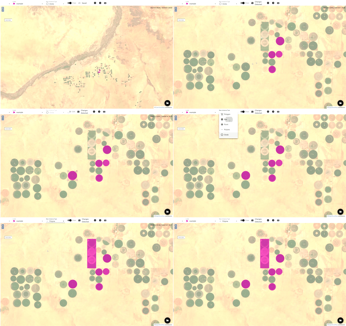
Geospatial Annotation
Interface for annotating images with geo referencing

Overview
Diffgram's geospatial annotation was made specifically to work with images that have geo referencing (aerial photos and satellite imagery is a good example of the geospatial data) and all the annotations have to be made not only in the coordinate system of the image, but also in geographical coordinates.
Features
- Various annotation primitives (Circle, Box, Point, Polygon, Polyline)
- Attributes (Select, Radio, Multi-select, Free text, Time, Date, Tree)
- Global attributes (Same as attributes, but applied to the file instead of instance)
- Tile manager (add, remove, hide and change opacity of the slippy map tiles)
- Export to JSON file
Supported Data Types
- GeoTIFF: Standard or COG (EPSG:3857 and EPSG: 4326 coordinate systems are supported)
- NITF (Coming soon)
More on geospatial data
If you are new to the geospatial data, and not sure how it's different from standard image annotation - there are some reading materials for on geospatial data:
- GeoAI: spatially explicit artificial intelligence techniques for geographic knowledge discovery and beyond
- What is a GeoTIFF?
- Earth Lab - a lot of materials, tutorials, courses and more about GIS and data intensive science
- Free satellite imagery datasets
Sample data
Sample file:
Free datasets:
Feel free to suggest more free datasets, if you know any
Updated about 3 years ago
