Apply global attributes
Global Attributes
As it was mentioned before, the difference between global attributes and attributes is that global attributes are applied to the file itself. In this step, let's evaluate what is the probability that the area that is covered by our GeoTiff file will be affected by flood
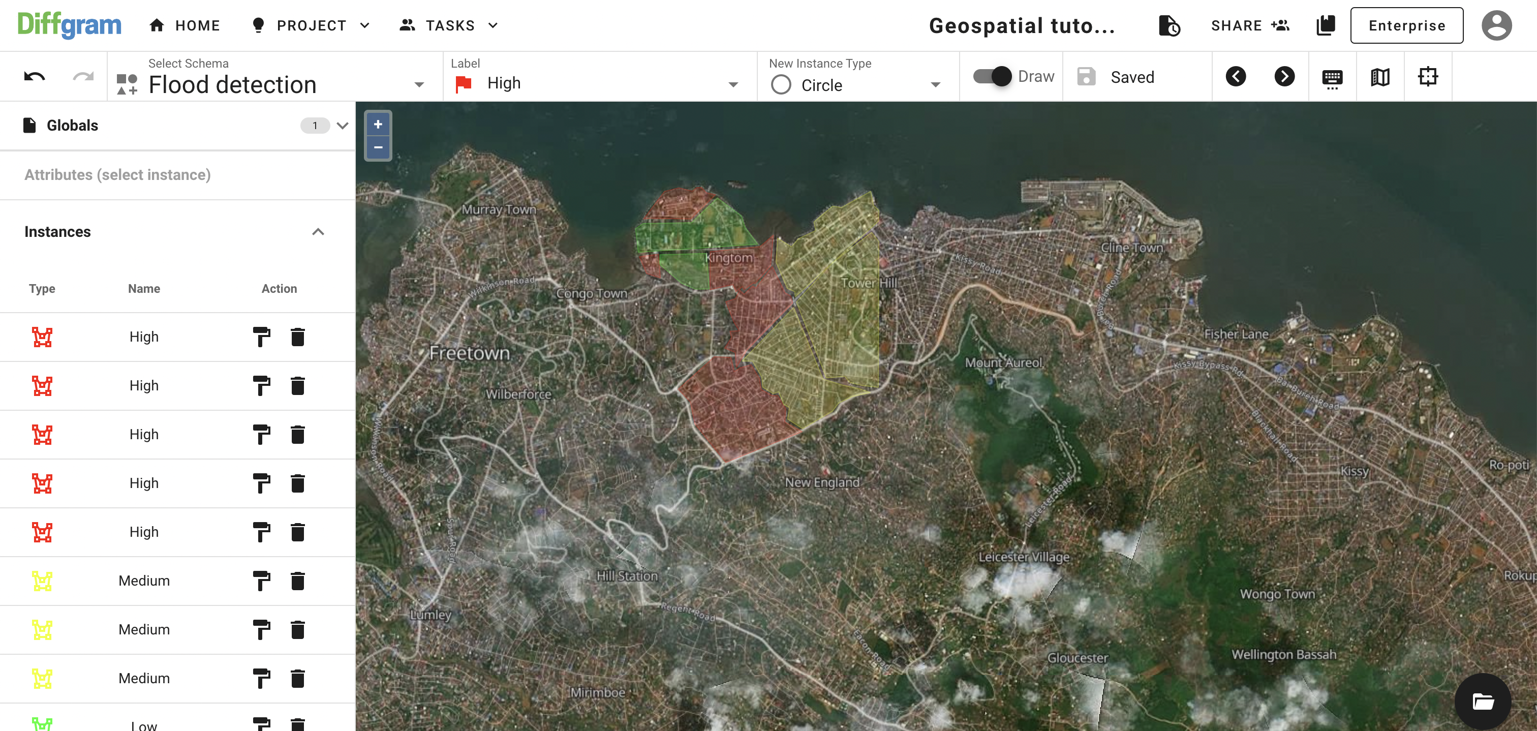
If you were following along with the tutorial, your map should look like this:

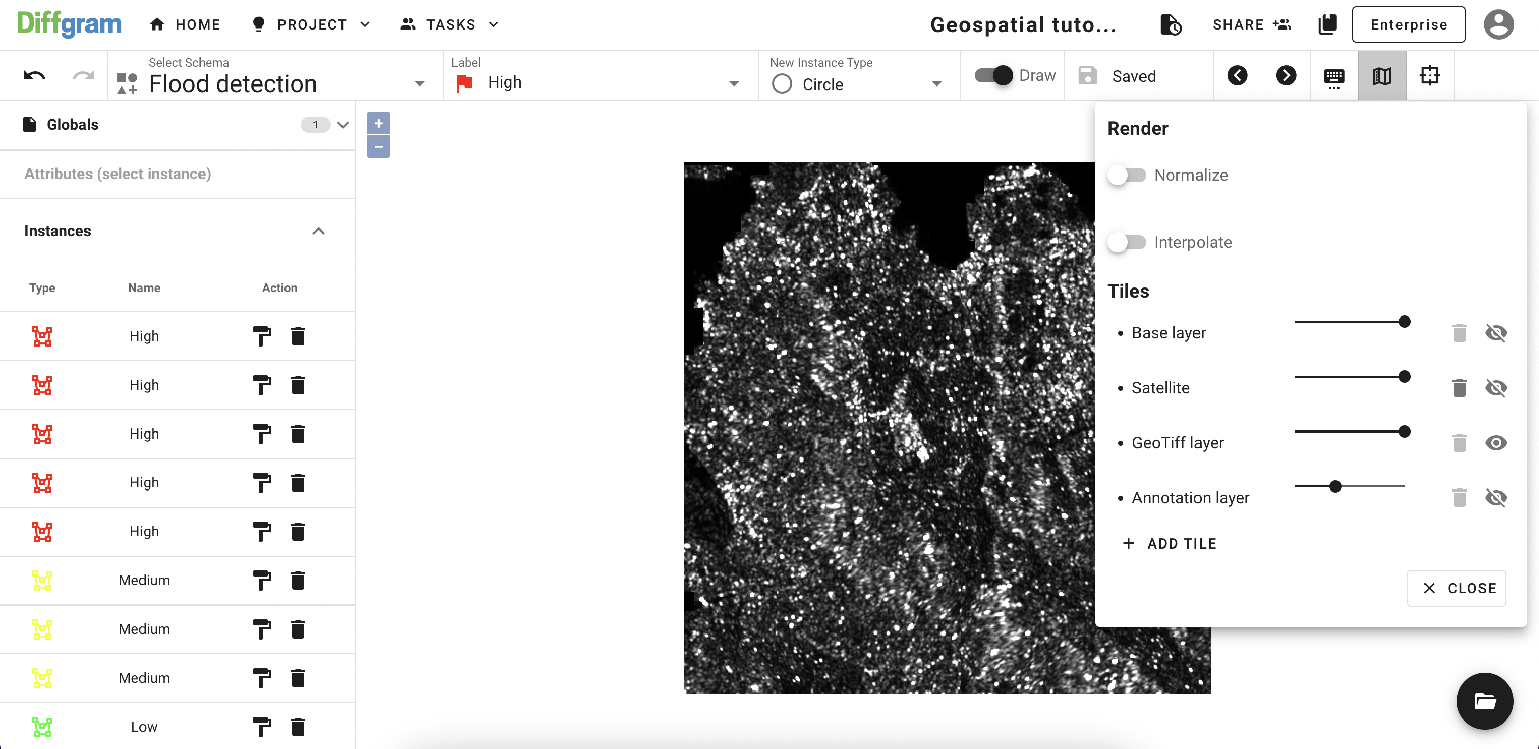
For this step, let's show our GeoTiff file one more time, and hide the rest of the layers:

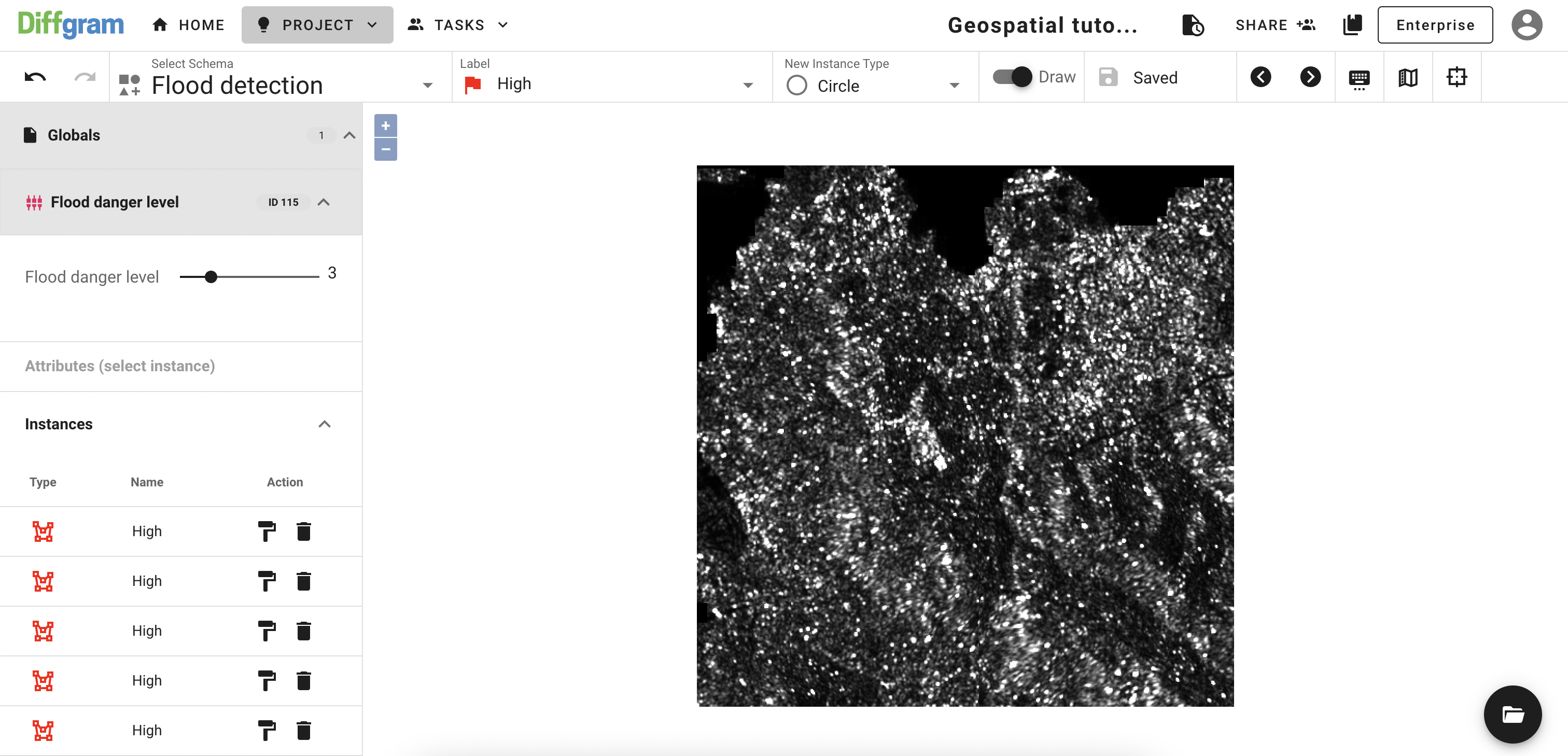
Now, when we can see the big picture, let's open the Globals tab on the left and apply 3 (it seems like 3 to me) on the Flood danger level:

Congratulations, we've just finished annotating our file!
Updated about 3 years ago
